Today we shine the spotlight on Lori Laster, our stormwater management engineer. She plays a crucial role in helping our communities, individuals, and businesses reduce the risk of flood damages.

Where did you grow up?
We moved a lot when I was a kid, but mostly a small town called Winnemucca, Nevada. It’s about two days’ drive on I-80 from here.
What does your job entail (job duties and how does your work impact the public)?
My job is to manage projects that reduce the risk of damages from flooding and rain and to help communities in the District review plans for new developments to make them as safe as possible. I also can help individuals and businesses with their floodplain management issues.
How long have you worked for the District?
15 years
What’s the most unique thing in your office or on your desk right now?
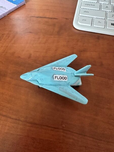
This one is hard because I have accumulated a lot of weird little things. But my favorite is my flood plane.
What do you enjoy doing outside of work (hobbies, volunteering, etc.)?
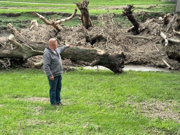
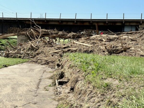
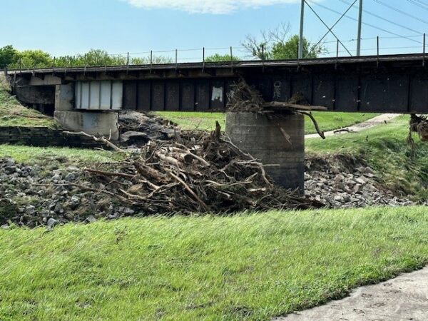
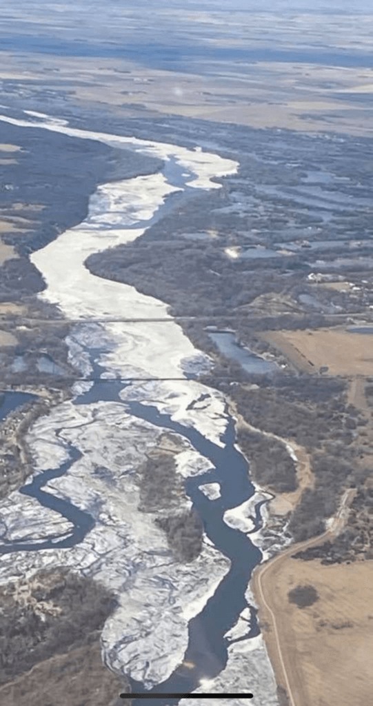
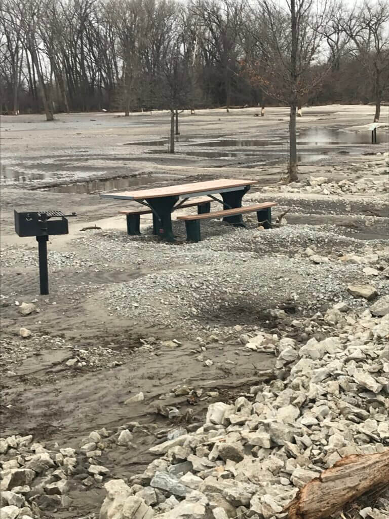
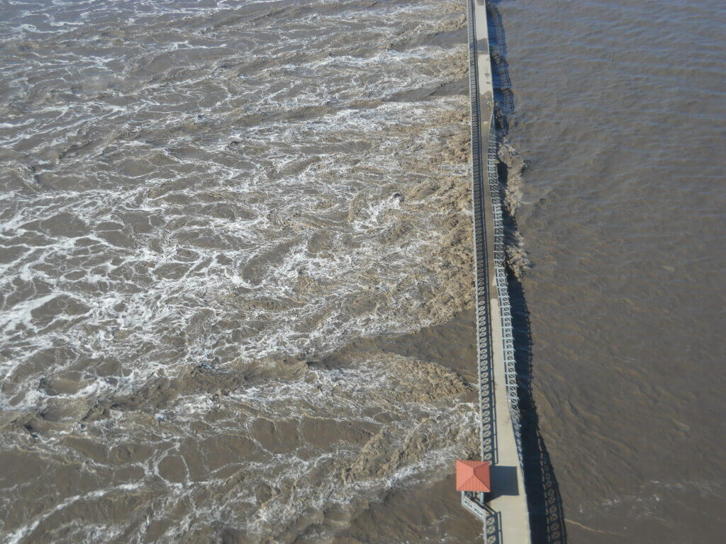
I enjoy live music, historical dramas and documentaries, traveling, and taking pictures of stormwater/flood mitigation projects while travelling.
What educational background or experience do you bring to your role (degree(s), coursework, skills learned, etc.)?
I have a Bachelor of Science degree in Geological Engineering with a focus in hydrology. I am a registered Professional Engineer (Civil) and a Certified Floodplain Manager. I also spent the early part of my career doing stormwater management for large industrial facilities. I’ve done everything from a small detention basin design up to managing multimillion-dollar projects such as Flanagan Lake.
What project(s) are you most proud of and why?
Flanagan Lake has been my biggest and most notable project. But my favorite project is our Multi-Jurisdictional Multi-Hazard Mitigation Plan. This plan identifies which natural hazards are a concern and how we might prevent damage from disasters. We regularly update the plan, and it gives me an opportunity to work with all of the communities in the District and many of our citizens.
What is the funniest/craziest thing that’s happened to you at work (that you can share, of course)?
Once while inspecting a flood-damaged home I walked in and out of the garage several times. After the last time walking out I turned around in time to see a snake drop off the overhead door I had just walked under. I’m not sure I would have survived the shock if the snake had fallen on me!
What is your favorite band(s)?
Foo Fighters is my #1 but I listen to a lot of different types of music depending on the day. If I have my ear buds in it could be Chopin or Mozart if I really need to concentrate or grunge/punk if I need an energy boost.


